MP News: Is the water in your district safe? Where is most groundwater available? Which areas are at risk from fluoride and nitrate? How will waterborne diseases be prevented? The ‘Antarjali Yatra’ atlas prepared under the Jal Ganga Augmentation Campaign 2026 claims to answer all these questions.
Jal Ganga Augmentation Campaign is being conducted with the aim of strengthening water conservation and environmental balance in the state. Veer Bharat Trust and Mapcast are making important contributions in strengthening this campaign from scientific and technical point of view. Many important scientific documents and atlases are being developed by Mapcast to make water resources conservation, regeneration and groundwater management more effective.
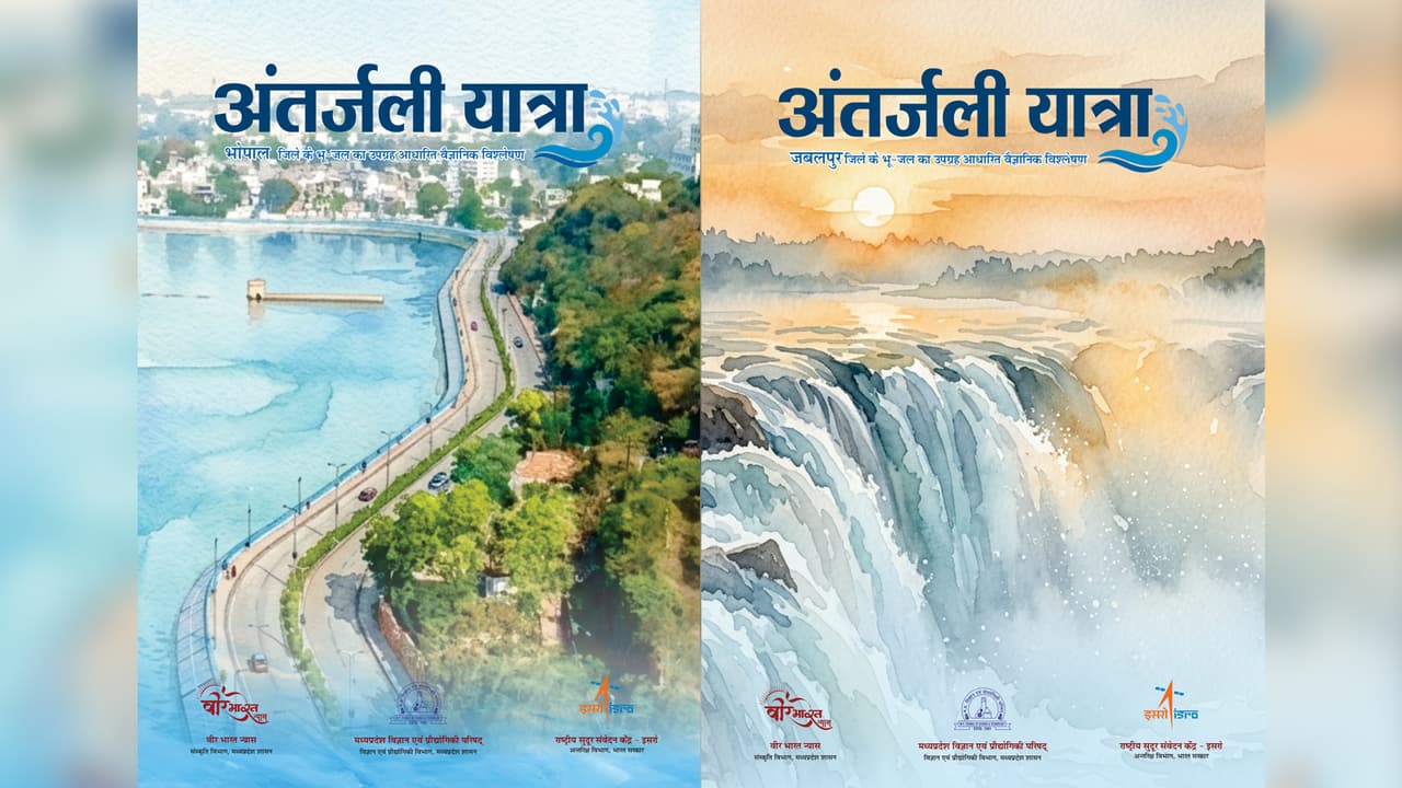
In this context, under the Jal Ganga Augmentation Campaign 2026, Mapcast has developed an important scientific document ‘Antarjali Yatra’ groundwater atlas prepared on the basis of satellite images. Under this, groundwater atlas of Bhopal, Indore, Ujjain, Gwalior and Jabalpur districts are being prepared and made available to the concerned departments. This will help in better management of groundwater resources and assessment of water quality.
Ground water maps prepared in collaboration with ISRO and NRSC
Detailed groundwater maps have been prepared using modern remote sensing and GIS techniques under the technical guidance of National Remote Sensing Center (NRSC)-ISRO, Hyderabad. ‘Underwater Travel’ Atlas has been created from the compilation of these maps and data.
This atlas is based on advanced digital elevation models, lineation analysis and extensive study of lithological data. It also includes detailed information related to groundwater quality along with groundwater potential maps, which will help various departments in taking accurate and fact-based decisions.
Accurate information about groundwater quality and water pollution will be available
The ‘Underwater Travel’ Atlas also provides area-wise analysis of the presence of fluoride, nitrate, chemical pollution and heavy metals. This will enable better assessment of the quality of water sources. Experts believe that this information will prove useful in identifying waterborne diseases and health problems. It will also help in taking timely corrective steps and providing safe drinking water in the affected areas.
Will become a useful document for water policy making and development plans
This groundwater atlas will play an important role in policy formulation and effective implementation of schemes for Water Resources Department, Public Health Engineering Department, Rural Development Department, Agriculture Department and other government and semi-government institutions related to water sector. Apart from this, this atlas will also prove to be useful as an important reference document for scientists, researchers, teachers and educationists working in the field of hydrology, environmental studies and research. This is expected to provide a new direction to scientific research and studies in the field of water conservation and groundwater management.