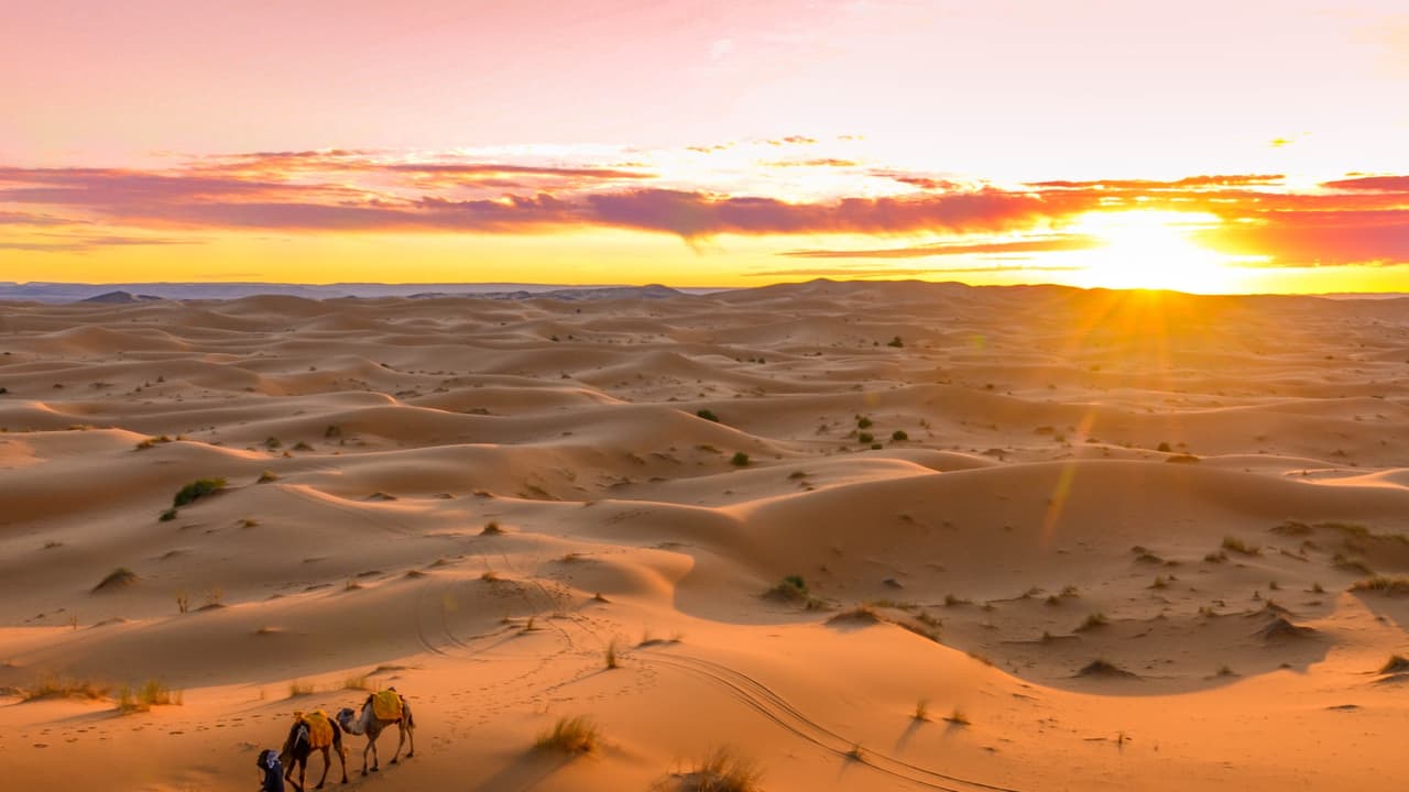
A massive plume of Saharan dust is sweeping across the Atlantic toward Florida, Texas and other Gulf Coast states this week, bringing hazy skies, vivid sunsets and helping suppress tropical storm development.
A vast cloud of dust originating from Africa’s Sahara Desert is making its annual journey across the Atlantic Ocean and is expected to reach Florida, Texas and several Gulf Coast states this week. Meteorologists say the event is part of the seasonal Saharan Air Layer (SAL), a hot, dry and dust-laden air mass that travels thousands of kilometres from North Africa to the Caribbean and the United States during the summer months. The phenomenon is expected to create hazy skies, reduce visibility in some areas and produce spectacular orange and crimson sunrises and sunsets across the region.
While the massive dust plume may appear dramatic on satellite imagery, forecasters say much of the dust will remain suspended high in the atmosphere rather than settling at ground level. As a result, widespread impacts on air quality are expected to be limited, although people with asthma, allergies or other respiratory conditions may experience irritation if dust concentrations increase locally. Weather experts also note that the dry Saharan air suppresses cloud formation and thunderstorm activity, which can temporarily reduce the likelihood of tropical cyclone development over the Atlantic during peak hurricane season.