A fresh western disturbance will bring rain and thunderstorms to Himachal Pradesh from June 3-6, says the IMD. Recent rain has lowered temperatures. The upcoming monsoon season is projected to have below-normal rainfall due to El Nino conditions.
A fresh western disturbance is likely to affect Himachal Pradesh from the evening of June 3, bringing intermittent rainfall and thunderstorms across several districts until June 6, according to the India Meteorological Department (IMD).
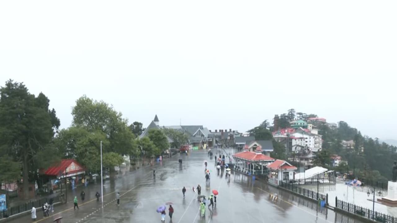
Rain and Thunderstorms Forecast Until June 6
Shobhit Katiyar, Head of the Meteorological Centre in Shimla, said light to moderate rainfall was recorded in many parts of the state during the past 24 hours. Thunderstorm activity was reported in districts including Chamba, Kangra, Kullu, Mandi, Solan and Shimla.
“No significant weather activity is expected on June 2. However, a fresh western disturbance will affect Himachal Pradesh from the evening of June 3, and its impact will continue intermittently till the afternoon of June 6,” Katiyar told reporters.
He said isolated places in Chamba, Kangra, Kullu, Mandi, Solan and Shimla districts are likely to receive moderate rainfall accompanied by thunderstorms on June 4 and 5.
The recent spell of rain has brought down temperatures across the state. Day temperatures in lower and adjoining plains remained between 32 and 36 degrees Celsius, around three to four degrees below normal. In the mid-hill regions, temperatures ranged between 22 and 27 degrees Celsius, about two degrees below normal.
“Temperatures are likely to rise by two to three degrees Celsius on June 2, but another spell of rain beginning June 3 will once again bring down temperatures across the state,” Katiyar said.
May Weather in Review
Reviewing weather conditions during May, Katiyar said Himachal Pradesh received 50.4 mm of rainfall against the normal average of 63.3 mm, recording a deficit of around 20 per cent. Among the districts, Una recorded the highest surplus rainfall at 110 per cent above normal, followed by Bilaspur with 45 per cent above normal rainfall. Lahaul-Spiti recorded the largest deficit at 59 per cent below normal, while Chamba and Kinnaur witnessed deficits of around 54 per cent.
Katiyar said hailstorms were reported on about 45 days at different locations across the state during May. Heatwave conditions also prevailed for six to seven days in the lower and adjoining mid-hill areas.
Below-Normal Monsoon Projected
On the upcoming southwest monsoon season, the IMD has projected below-normal rainfall over most parts of Himachal Pradesh.
“Except for some areas of Lahaul-Spiti and higher reaches of Chamba district, most parts of Himachal Pradesh are likely to receive significantly below-normal rainfall during the monsoon season,” Katiyar said.
He added that the southwest monsoon usually reaches Himachal Pradesh around June 25 and covers the entire state by June 27 or 28. A more precise forecast on the monsoon’s arrival will be issued four to five days in advance.
El Nino’s Impact
Explaining the weak monsoon outlook, Katiyar said global climate indicators were not favourable this year.
“At present, neutral conditions prevail over the Pacific Ocean, but these are likely to shift towards El Nino conditions during the monsoon season. Historically, El Nino years are associated with reduced rainfall over India. Additionally, the Indian Ocean Dipole is also expected to remain neutral for most of the season and is unlikely to provide the positive support generally associated with enhanced monsoon rainfall,” he said.
He said these climatic factors indicate a higher probability of below-normal monsoon rainfall over Himachal Pradesh and several other parts of the country this year.
(Except for the headline, this story has not been edited by Asianet Newsable English staff and is published from a syndicated feed.)