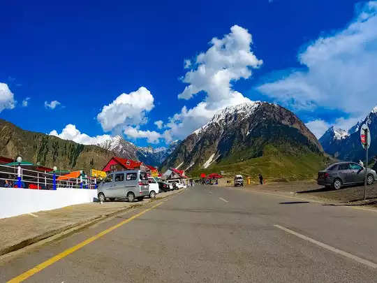
There is no doubt that India is a country of highways. Highways running from north to south and from east to west connect many states of the country. Let us tell you, the highway network in India is spread over millions of kilometers and more than half the people pass through these highways every day. You will be surprised to know that there are more than 200 highways in India, which connect the country through the states.
H44 is the longest national highway in India, spanning approximately 3,745 km. It starts from Srinagar (Jammu and Kashmir) and ends at Kanyakumari (Tamil Nadu). These national highways include seven major old national highways that are part of the North-South Corridor. The length of this route is very long, which connects about 21 major cities of the country. Let us tell you that earlier NH 44 was also known as NH 7.

As per records, the total distance covered by NH 48 is approximately 2,807 km. Its route starts from Delhi and ends in Chennai. This national highway connects Delhi and Jaipur and extends for a long distance. This route from Mangalore to Nelamangala covers different parts of the country and is surrounded by beautiful scenery on both sides. This highway passes through the states of Haryana, Gujarat, Maharashtra, Karnataka and Tamil Nadu.
National Highway 52 (NH 52) connects Sangrur in Punjab to Ankola in Karnataka, India. Its length is 2317 km. This highway was earlier known as NH17. Ankola in Karnataka and Guti in Andhra Pradesh were earlier connected by the NH-63 route. Highway 52 starts from Ankola Junction of National Highway 66 (earlier numbered NH-17) and goes to Arabian Ghats of the Western Ghats, then to Yellapura and finally to Hubli (Hubli).
