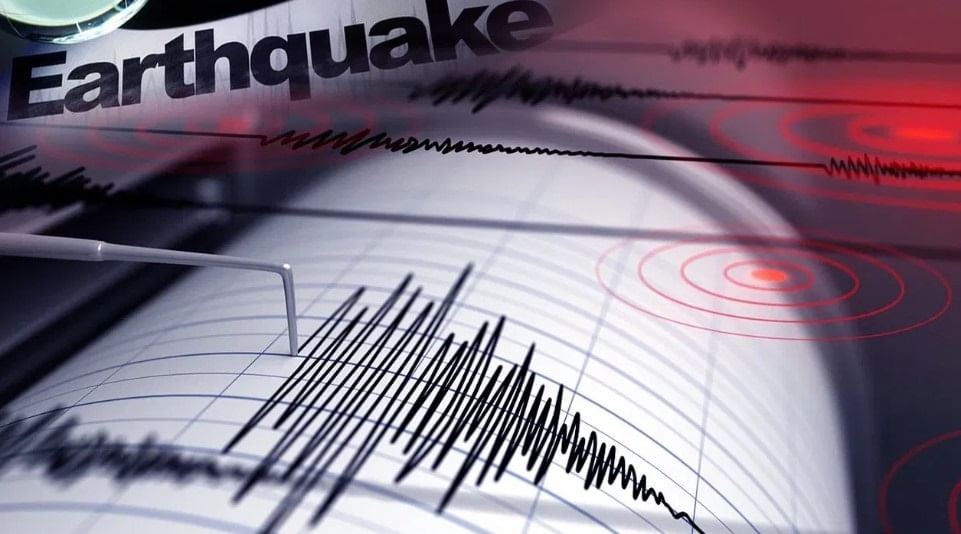
Dehradun: A series of mild earthquakes across Uttarakhand has raised alarm among geoscientists, who warn that the Himalayan region may be heading toward a major seismic event.
With tremors ranging from magnitude 1.8 to 3.6 recorded 32 times in the last six months, particularly in Chamoli, Pithoragarh, Uttarkashi, and Bageshwar, experts say the energy accumulating beneath the earth’s crust is a cause for serious concern.
One of the most earthquake-prone regions in India
Uttarakhand lies in seismic zones IV and V, making it one of the most earthquake-prone regions in India. Historical records show devastating quakes of magnitude 7.0 in Uttarkashi (1991) and 6.8 in Chamoli (1999). Since then, no major earthquake has occurred, leading scientists to believe that tectonic stress is silently building up.
Geologists from across the country gathered to discuss
At a recent workshop held in Dehradun, geologists from across the country gathered to discuss “Understanding Himalayan Earthquakes” at the Wadia Institute and “Earthquake Risk Assessment” at FRI. They concluded that any future earthquake in the region could reach a magnitude of 7.0 or higher. Dr. Vineet Gehlot, Director of the Wadia Institute of Himalayan Geology, explained that the slow movement of tectonic plates in Uttarakhand—just 2 mm per year—has caused a geological “lock,” increasing the risk of a sudden release of energy.
“Similar conditions were observed in Nepal before the 2015 earthquake,” Dr. Gehlot said. “The plates are shifting slowly, and the stress is accumulating. It’s not a question of if, but when.”
169 earthquake sensors have been installed
To improve monitoring, 169 earthquake sensors have been installed across the mountainous regions of Uttarakhand. These sensors can provide a warning 15 to 30 seconds before a quake of magnitude 5 or higher. The Bhudev mobile app will alert residents, giving them a brief window to move to safety. Disaster Management Secretary Vinod Kumar Suman emphasized that early warning systems are crucial for minimizing casualties.
However, predicting the exact time and magnitude of an earthquake remains beyond current scientific capabilities. Two GPS stations have been installed to track energy accumulation, but experts say more are needed for accurate forecasting.
Central and Northeast Himalayas are storing vast amounts of energy
Dr. Imtiaz Parvez, Senior Scientist at CSIR Bangalore, noted that the Central and Northeast Himalayas are storing vast amounts of energy. “We can identify vulnerable zones, but pinpointing the timing of a major quake is still not possible,” he said. The central government has selected Dehradun for a detailed geological study to assess the city’s vulnerability. CSIR Bangalore will examine the composition and thickness of the land in various parts of the city to guide future construction and disaster preparedness.
Scientists also highlighted that damage from earthquakes of equal intensity is often greater in plains than in mountainous regions due to soil composition and building practices. They urged authorities to strengthen infrastructure and raise public awareness through drills and education.