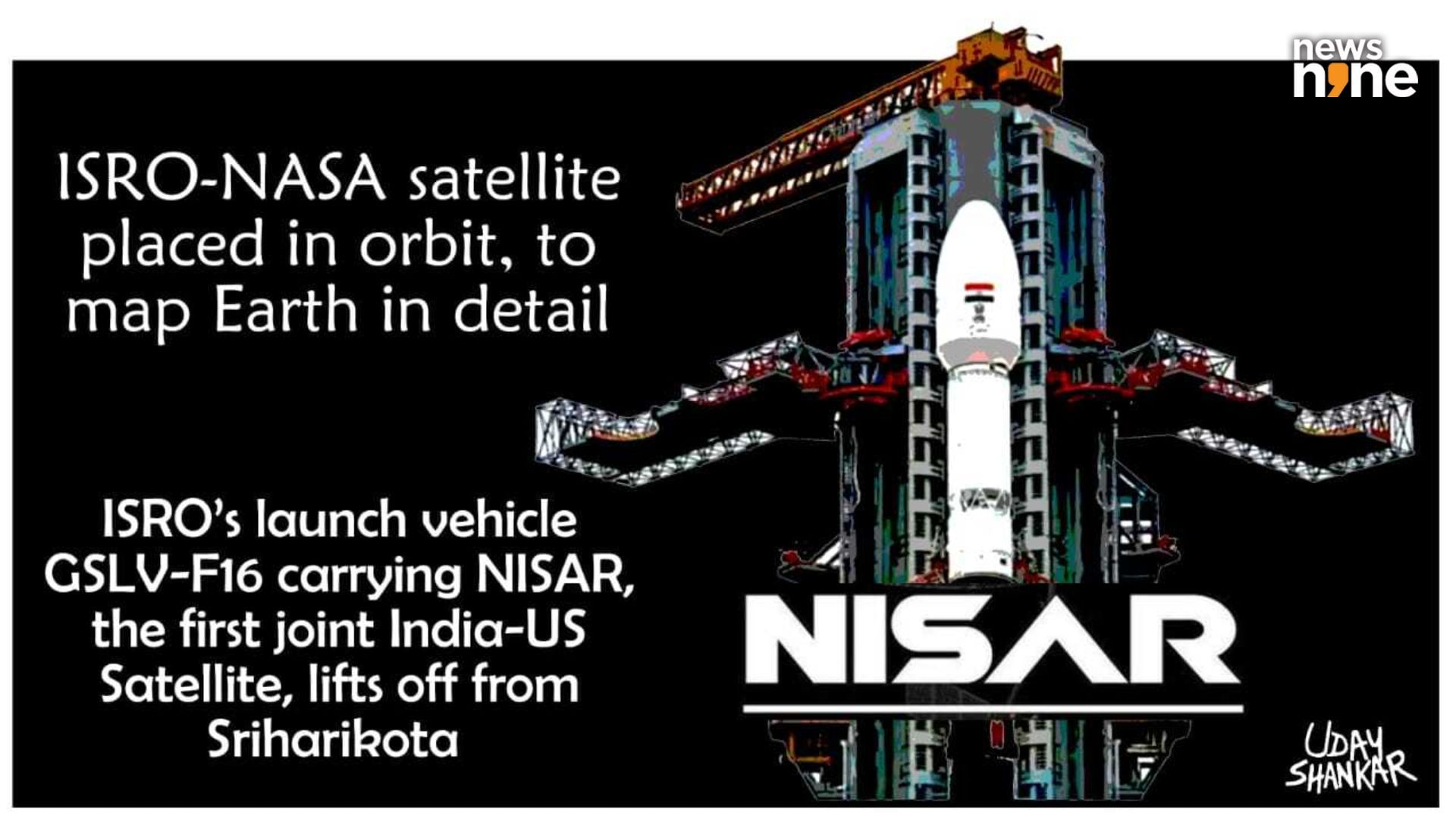
New Delhi: About 18 minutes after lifting off at 17:30 hours IST from the second launch pad at India’s spaceport on the barrier island of Sriharikota, ISRO’s GSLV-F16 rocket successfully deployed the NASA-ISRO Synthetic Aperture Radar (NISAR) satellite into a Sun Synchronous Polar Orbit (SSPO) at the desired altitude of 745 kilometres. The satellite carries two radar payloads, one made by NASA’s Jet Propulsion Laboratory (JPL) in California, the foremost space research facility on the planet, and the other by India’s Space Applications Centre (SAC) in Ahmedabad. This is the first collaboration of its kind between ISRO and NASA. The radar system produces a dynamic, three-dimensional view of the Earth in unprecedented detail.
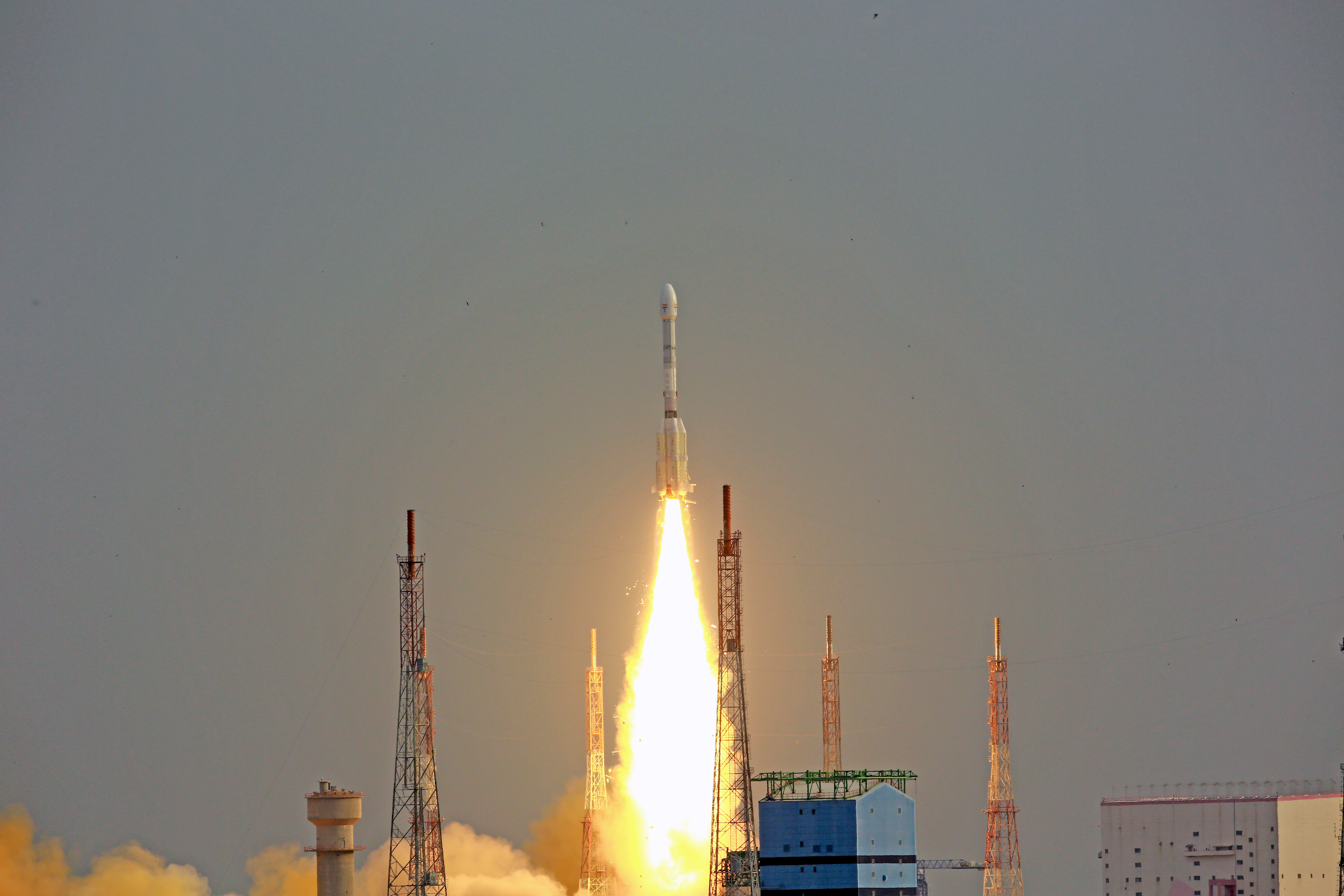
The GSLV-F16 rocket just after liftoff. (Image Credit: ISRO).
The partnership officially commenced in 2014, after NASA looked for a suitable partner to deploy the innovative SweepSAR technology that JPL had developed, allowing for wide area coverage without compromising on fine spatial resolution. NASA is providing the L-band radar payload, the nine metre long boom, and the 12 metre wide radar reflector antenna, while ISRO is providing the spacecraft bus itself with the comms, power and propulsion, the solar panels to draw energy from the Sun, an S-band radar payload, and the launch vehicle to deploy the rocket. Incidentally, the indigenously developed cryogenic upper stage used by the launch vehicle was a technology that USA attempted to prevent Russia from providing to India in the 1990s, over concerns of use in making missiles, even though missiles use solid fuels and not cryogenic propellants.
An asset for the human civilisation
Following the launch, ISRO Chairman V Narayanan said, “ISRO’s GSLV has precisely injected NISAR satellite into the intended orbit, 747 kilometers. I am happy to inform that this is GSLV’s first mission to Sun-synchronous polar orbit. With this successful launch, we are at the threshold of fulfilling the immense scientific potential NASA and ISRO envisioned for the NISAR mission more than 10 years ago. The powerful capability of this radar mission will help us study Earth’s dynamic land and ice surfaces in greater detail than ever before.” The satellite has successfully established communications with ground stations.
GSLV-F16/NISAR 🚀🛰️ MISSION SUCCESSFUL, MOST EXPENSIVE MISSION EVER IN COLLABORATION WITH @NASAJPL & @isro
Congratulations everyone and X space Community!
Grab Your favourite poster of NISAR!
🔗https://t.co/uKtplQkxzO#ISRO #NASA #NISAR pic.twitter.com/xtM1o2k36O
— ASTROSPACE (@Arslanshaikh_) July 30, 2025
Associate administrator for the Science Mission Directorate at the NASA Headquarters in Washington, Nicky Fox said, “Congratulations to the entire NISAR mission team on a successful launch that spanned across multiple time zones and continents in the first-ever partnership between NASA and ISRO on a mission of this sheer magnitude. Where moments are most critical, NISAR’s data will help ensure the health and safety of those impacted on Earth, as well as the infrastructure that supports them, for the benefit of all.” The boom and the antenna which were stowed away for the launch will be deployed over eight days, after which the three-month long commissioning phase of the satellite will start. The data gathered by the mission will be made freely available to everyone on the planet.