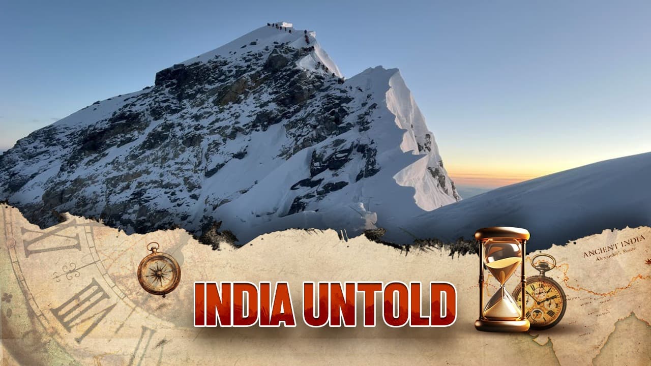
Just using simple geometric ideas, Indian mathematicians estimated the height of Mount Everest which was its official height until recently.
After decades of dispute, Nepal and China have finally reached a historic consensus on the official height of Mount Everest. The world’s tallest peak, long recognized at 8,848 metres as per the 1955 Survey of India, now officially stands taller—8,848.86 metres. A seemingly negligible rise of 86 cm has nevertheless stirred scientific curiosity and global fascination.
For a mountain soaring beyond 8,000 metres, this increase amounts to a mere 0.01%—the equivalent of adding just four minutes to a 31-day month. Yet, the astounding precision achieved by Indian surveyors over six decades ago—without modern marvels like GPS or LiDAR—has left experts marveling. How did they come so close? And where exactly does this tiny discrepancy arise?
Art of Triangulation
The principle that underpinned this measurement is as old as geometry itself—triangulation. The method was used even in the mid-19th century, when Everest—then called Peak XV—was declared the world’s tallest mountain. In 1852, a young Indian mathematician, Radhanath Sikdar, stunned the world by calculating its height at 8,840 metres, a figure barely eight metres short of today’s globally accepted value.
Measuring the angle from a known distance and applying trigonometric functions to calculate the unknown height. Land surveyors, even today, use similar techniques with a theodolite.
But a mountain is far more complex than a pole or a tower. Its base is elusive, buried deep beneath folds of rock and valleys. To overcome this, surveyors record the peak’s angle of elevation from two distinct points. These create right-angled triangles, with geometry revealing the peak’s towering stature.
The Fine-Tuned Corrections
However, sheer mathematics is not enough. Surveyors must tweak calculations for several natural complications:
Uneven Base Levels: Mountains do not rest on flat plains. Hence, each observation point’s altitude is precisely determined through high-precision levelling.
Gravitational Distortions: Colossal ranges like the Himalayas warp gravity itself, nudging local sea levels higher than normal. Instruments like gravitometers account for this invisible force.
Atmospheric Refraction: The mountain peak appears deceptively shifted due to light bending through dense atmospheric layers—like a stick seeming bent in water. Surveyors must adjust for this optical illusion to calculate the true angle.
The Mystery of 86 cm
Whether the newly declared 86 cm difference stems from more refined corrections or a genuine geological rise remains uncertain. The Himalayas, being fold mountains, are continuously thrust upwards by restless tectonic forces.
(This article has been curated with the help of AI)