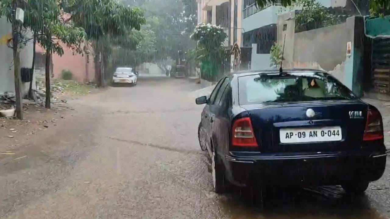
Hyderabad: Light to moderate rain and thunderstorms are likely over some places over the next six days. Maximum temperatures are likely to be below normal by 1-2°C during the next two days thereafter gradual rise by 2-3°C during the next four days, India Meteorological Department said.
Thunderstorms accompanied with lightning and gusty winds of 30-40 kmph is very likely to occur at some places in Adilabad, Asifabad, Nirmal, Nizamabad, Vikarabad, Sangareddy, Medak, Kamareddy, Mahabubnagar districts.
Khammam, Warangal, Nalgonda, Jangaon, Siddipet, Hyderabad, Rangareddy, Medchal Malkajgiri and other districts are also likely to see similar conditions on March 28. These conditions will continue till March 31.
On March 24, light rain of less than 5 mm/hr and thunderstorms with maximum surface wind speed less than 40 kmph is likely to occur at some places in Adilabad, Hyderabad, Medchal Malkajgiri, Rangareddy, Mulugu, Medak, Ngaarkurnool, Vikarabad districts, IMD said. Isolated rain is likely to occur in Hyderabad at places such as Kukatpally, Serilingampally, Qutubullapur over the next few hours.
Meteorological Analysis:
The trough line, which extended from the Gulf of Mannar to West Vidarbha yesterday, now extends from the Gulf of Mannar to North Interior Karnataka at an altitude of 0.9 km above mean sea level.
A second trough line has formed, extending from a surface cyclonic circulation located over central Madhya Pradesh, across Vidarbha and Marathwada, up to North Central Maharashtra, at an altitude of 0.9 km above mean sea level.
The surface cyclonic circulation that formed over the North Coastal Andhra region yesterday has weakened today.