A severe weather warning has been issued for Hyderabad as a dangerous thunderstorm, fueled by a massive cumulonimbus cloud formation, is expected to sweep across the city.
Weather watchers and local meteorologists have sounded a high-alert, advising residents to remain indoors and avoid non-essential travel.
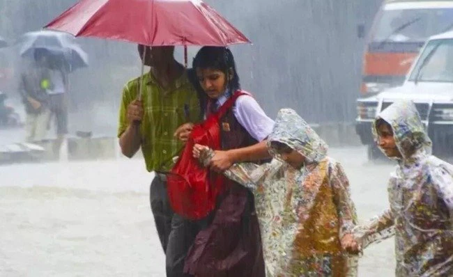
The city is likely to receive over 50 mm of rainfall in a short span, which could result in localized flooding, waterlogging, traffic disruptions, and potential power outages. The storm is expected to be accompanied by intense lightning, strong winds, and heavy downpours.
“Dear people of Hyderabad, it’s going to be a dangerous thunderstorm for the entire city. I’m repeating it again – please stay indoors. Massive cumulonimbus is developing. Stay alert,” warned Telangana Weatherman, a local weather enthusiast, amplifying the alert across social media.
In the previous tweet, he wrote, “POWERFUL THUNDERSTORMS ahead in Uppal, Nagole, Lb Nagar, Vanasthalipuram, Hayathnagar, Saroornagar, Saidabad, Chandrayanagutta, Kapra, Malkajgiri, Tarnaka, OU, Alwal, Kukatpally next 2hrs which will further cover other parts of the city. STAY ALERT”
Authorities are closely monitoring the situation and are expected to issue updated advisories depending on how the storm progresses. Commuters are advised to stay home, and those living in low-lying areas are urged to take necessary precautions.
What to Expect:
Heavy rainfall exceeding 50mm in a short duration
Thunder, lightning, and gusty winds
Possible traffic snarls and power outages
Localized flooding in low-lying areas
Safety Tips:
Avoid going outdoors unless absolutely necessary
Stay away from trees, open fields, and water bodies during the storm
Unplug electrical appliances to prevent surge damage
Follow updates from IMD and GHMC
The Greater Hyderabad Municipal Corporation (GHMC) is on alert and ready to respond to emergencies. Citizens can report flooding or emergency issues via the GHMC helpline.
Stay safe, Hyderabad.