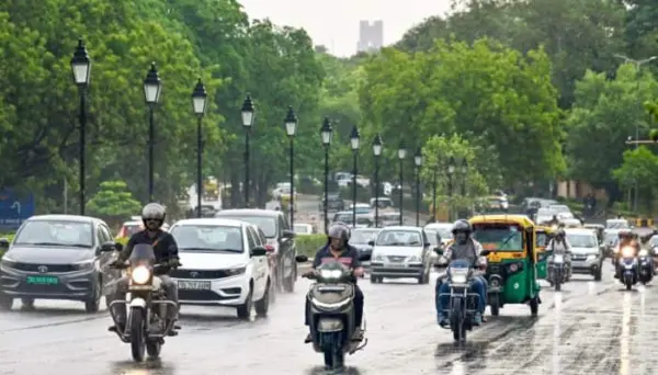
The southwest monsoon may be advancing across more parts of India, but widespread rainfall is unlikely to return anytime soon, with weather models pointing to a largely inactive phase lasting through the coming week.
Meteorologists say the monsoon has continued its gradual northward march across parts of central and eastern India. However, the system remains unusually weak, limiting the chances of widespread rain despite its geographical advance.
Large-scale monsoon activity is expected to remain subdued between June 15 and June 21, prolonging rainfall deficits that have already emerged across several regions of the country.
In the absence of sustained monsoon showers, much of the rainfall over the next few days is expected to come from localised thunderstorms, particularly across southern India.
Areas along the Karnataka-Andhra Pradesh-Tamil Nadu border, as well as the Eastern Ghats, are likely to witness frequent thunderstorm activity. These storms could bring spells of moderate to heavy rain, accompanied by lightning and gusty winds.
Despite the weak rainfall pattern, conditions remain favourable for the monsoon to advance further over the next four to five days into additional parts of Maharashtra, the remaining regions of Karnataka, Telangana, Odisha, Jharkhand, Bihar and parts of Chhattisgarh.
Weather experts note that monsoon advancement does not necessarily translate into active rainfall. While monsoon winds may continue spreading across the country, the atmospheric conditions required for widespread precipitation remain weak at present.
Rainfall likely to improve in second half of June
A gradual improvement is expected during the latter half of the month. Between June 22 and June 28, thunderstorm activity is forecast to increase over interior Karnataka, the Andhra Pradesh-Karnataka border region, southern Tamil Nadu and the Western Ghats of Kerala.
Rainfall is also expected to pick up along the Kerala and Karnataka coasts and across the Western Ghats stretching northwards towards Mumbai. However, forecasts currently do not indicate any exceptionally intense monsoon spell during this period.
A more meaningful revival may arrive towards the end of June. Multi-model weather guidance shows the possibility of a more active monsoon phase from June 29 to July 5. The Western Ghats in south Kerala and the Konkan coast are expected to be the first areas to see a more active monsoon phase, with a possibility of spells of heavy rainfall.
The outlook offers some relief after a slow start of the season. As many parts of India remain in a rainfall deficit and satellite images show a lack of monsoon cloud cover, forecasters will be looking for signs of a more robust revival during the last week of June.
For now, thunderstorms are set to remain the main source of meaningful rainfall across much of the country, while the monsoon itself continues to bide its time.