14
Image Credit : Google
Emerging Weather System Near Sri Lanka
Chennai is gearing up for another spell of heavy rain as a fresh low-pressure zone forms near Sri Lanka over the Comorin region and the southwest Bay of Bengal. Meteorologists indicate that this system is likely to gain strength over the next two days and could evolve into Cyclone Senyar. This development comes soon after a previous system near the Strait of Malacca, which experts now believe will gradually weaken while drifting toward the southeast Arabian Sea.

24

Image Credit : Google
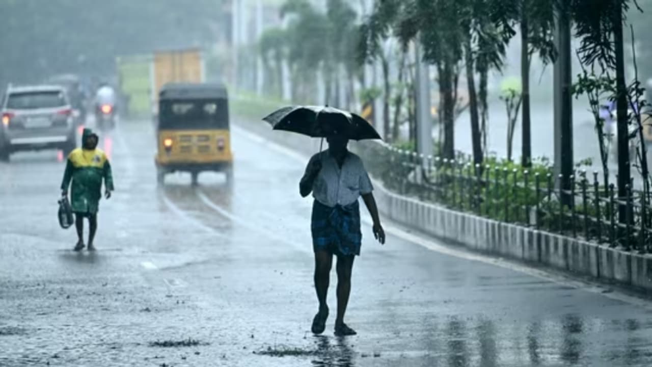
Alerts, Forecast Track, and City Preparation
The IMD has maintained an orange alert for Chennai on November 29, while some private forecasts suggest that the intensity could remain moderate. Weather experts note that the disturbance may move north-northwest, strengthening into a well-marked low by November 26 and potentially a depression the next day. Officials warn that even moderate rainfall could be enough to cause drainage overflow and brief flooding in several areas. Meteorologists also mention that the formation of the cyclone could temporarily reduce rainfall in inland Tamil Nadu while focusing wetter conditions along the coast and towards Sri Lanka.
34
Image Credit : Google
Rainfall Expectations for Key Dates
Coastal districts stretching from Tiruvallur to Ramanathapuram have been advised to stay on alert for significant rainfall on November 29. Chennai may shift to a yellow alert on November 30, indicating 6–12 cm of rain over 24 hours. The delta districts could experience more intense showers on November 28 as rainbands tighten and move through the region, signalling a continued wet phase.
44
Image Credit : Google
Traffic Trouble Spots and Power Disruptions
If rainfall intensifies, familiar traffic bottlenecks such as T. Nagar, Velachery Main Road, the Guindy junction, GST Road, the Kodambakkam bridge and stretches near the Adyar river could slow down significantly. Areas like Madhavaram, Perambur bridge and the Koyambedu bus corridor may also face heavy congestion. Motorists are advised to plan early, avoid low-lying underpasses and expect diversions during peak showers. Authorities may resort to temporary feeder shutdowns in vulnerable neighbourhoods such as Pallikaranai, Mogappair, KK Nagar and parts of North Chennai to prevent electrical hazards during waterlogging.
Stay updated with the Breaking News Today and Latest News from across India and around the world. Get real-time updates, in-depth analysis, and comprehensive coverage of India News, World News, Indian Defence News, Kerala News, and Karnataka News. From politics to current affairs, follow every major story as it unfolds. Get real time updates from IMDon major cities’ weather forecasts, including Rain alerts, Cyclonewarnings, and temperature trends. Download the Asianet News Official App for accurate and timely weather updates anytime, anywhere.