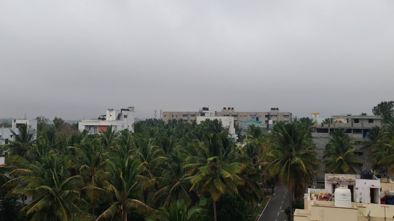
<p>Bengaluru and parts of South Interior Karnataka recorded light rain due to a Bay of Bengal depression. Temperatures dipped sharply, increasing cold intensity, while clear skies and moderate AQI levels are expected ahead.</p><img><p>After easing over the last couple of weeks, cold conditions have intensified once again. In Bengaluru, temperatures dropped by nearly 4 degrees Celsius by 8.30 am on Monday. </p><p>The city remained cloudy until noon, with drizzle beginning in the afternoon and persisting in some areas till night. </p><p>As night temperatures dipped further, residents experienced a sharper chill, signalling a temporary return of colder weather.</p><img><p>Following the brief wet spell, weather conditions are expected to improve. Bengaluru is likely to witness a clear sky with a temperature around 22°C. </p><p>Humidity levels will remain near 58 per cent, accompanied by winds blowing at approximately 22.7 km/h. </p><p>Air Quality Index (AQI) levels are forecast to stay in the range of 30–81, categorised as moderate, indicating relatively comfortable and stable weather conditions ahead.</p><img><p>The easterly wave has now passed through the Southern Peninsula, leading to the gradual conclusion of the recent cloudy phase across Karnataka. </p><p>As the system moved away, weather conditions began stabilising, though residual moisture continued to influence parts of the State. </p><p>This transition marks a shift from overcast skies to clearer conditions, especially in urban and semi-urban regions.</p><img><p>Isolated light rain and drizzle were recorded across several parts of the State on Monday. </p><p>Due to a depression in the Bay of Bengal, at least nine districts of South Interior Karnataka, including the capital city Bengaluru, experienced brief drizzles. </p><p>The India Meteorological Department (IMD) confirmed that these conditions contributed to a noticeable increase in cold intensity and has also indicated the possibility of rainfall continuing on Tuesday.</p>