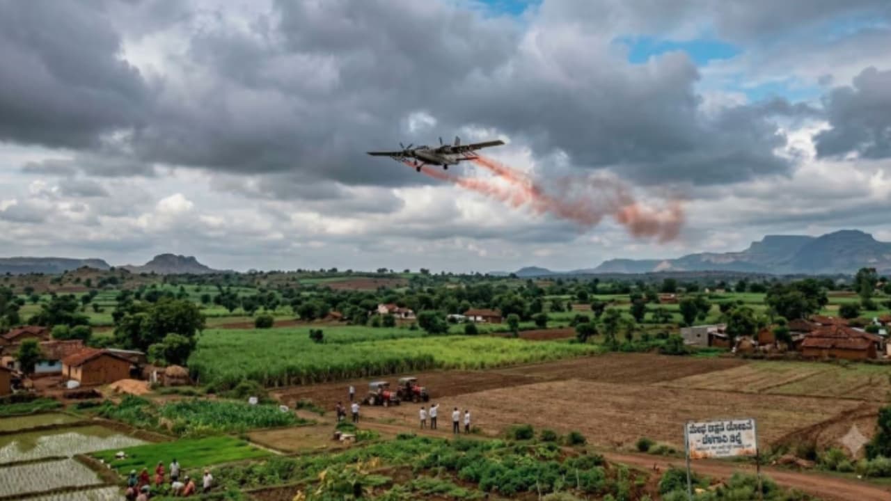
The Karnataka government is considering cloud seeding after low rainfall left the Harangi Reservoir below full capacity. Reduced inflows into the Cauvery River have affected irrigation, prompting farmers to rely on borewells amid the ongoing dry spell.
With the Harangi catchment area receiving very little rainfall over the past three days, the Harangi Reservoir remains nearly 13 feet below its full reservoir level. The prolonged dry spell has raised concerns over the availability of water for irrigation, prompting the Karnataka government to consider cloud seeding in the Mysuru and Mandya regions to enhance rainfall and improve inflows into key reservoirs.
Government Considers Cloud Seeding
Adding to the concern, Kushalnagar and its surrounding areas have witnessed bright, sunny weather over the past two days, further reducing inflows into the Cauvery River. The decline in river flow has affected the availability of irrigation water, forcing farmers who depend on the Harangi Reservoir to rely on borewells to irrigate their crops.
Senior geologist Dr H.S.M. Prakash confirmed the development, stating that the government is seeking expert opinion on the feasibility of undertaking cloud seeding operations in the Mysuru and Mandya regions to address the prevailing water shortage and improve rainfall in the catchment areas.
Current Reservoir Levels
The latest reservoir levels are as follows:
- Kabini: 57% full (Current level: 2268.93 ft; Maximum level: 2284 ft)
- Hemavathi: 58% full (Current level: 2902.85 ft; Maximum level: 2922 ft)
- Tungabhadra: 20% full (Current level: 1599.55 ft; Maximum level: 1633 ft)
- Supa: 25% full (Current level: 529.25 m; Maximum level: 564 m)
- KRS: 32% full (Current level: 86.80 ft; Maximum level: 124.80 ft)
- Ghataprabha: 36% full (Current level: 2123.15 ft; Maximum level: 2175 ft)
- Linganamakki: 20% full (Current level: 1762.70 ft; Maximum level: 1819.12 ft)
- Bhadra: 44% full (Current level: 2118.82 ft; Maximum level: 2158.00 ft)
- Harangi: 56% full (Current level: 2844.95 ft; Maximum level: 2859 ft)
- Almatti: 58% full (Current level: 515.85 m; Maximum level: 519.60 m)
- Narayanapura: 59% full (Current level: 488.72 m; Maximum level: 492.25 m)
- Malaprabha: 32% full (Current level: 2053.80 ft; Maximum level: 2079.50 ft)
The below-normal rainfall across several catchment areas has slowed reservoir inflows across the state, leaving many major reservoirs well below their full capacity. Authorities are closely monitoring the situation as the monsoon progresses while exploring measures such as cloud seeding to augment rainfall if the dry conditions persist.