At a UNHRC session, Munir Mengal of the Baloch Voice Association slammed Pakistan’s life sentence for activist Mahrang Baloch, calling it an attempt to suppress Baloch political aspirations and alleging the judiciary lacks independence.
Criticism Over Mahrang Baloch’s Sentence
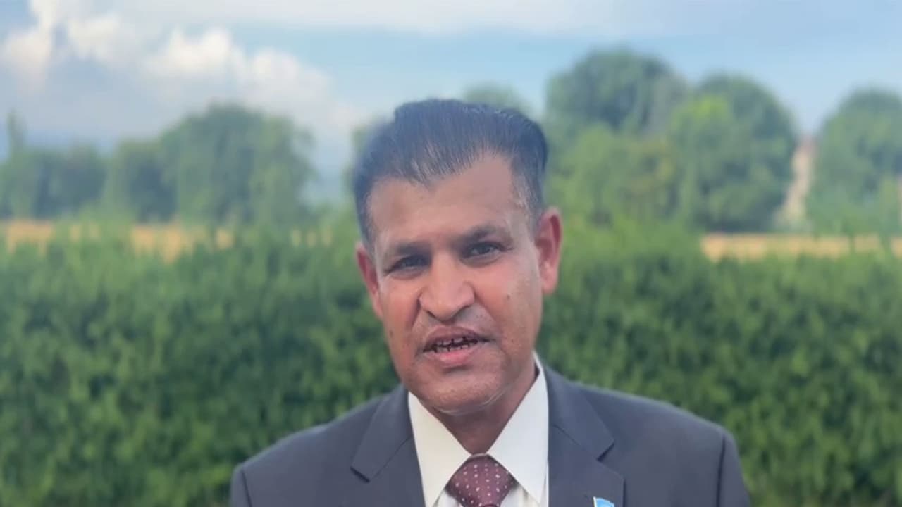
On the sidelines of the 62nd session of the United Nations Human Rights Council (UNHRC), Munir Mengal, President of the Baloch Voice Association (BVA), has strongly criticised Pakistan over the reported life imprisonment of Baloch rights activist Dr Maharang Baloch, describing the verdict as an attempt to suppress the political aspirations of the Baloch people.
Mengal stated that Dr Mahrang Baloch represents the collective voice of the Baloch community and has raised concerns about Baloch rights on international platforms. He alleged that the judiciary lacked independence, asserting that the court’s decision reflected the wishes of the Pakistani authorities rather than an impartial judicial process.
According to Mengal, imprisoning Mahrang Baloch would not weaken the Baloch movement but instead strengthen resistance among Baloch youth and attract greater international attention to the situation in Balochistan.
Call for Investigation into Widespread Abuses
He urged the United Nations and global human rights organisations to take notice of the case and investigate what he described as systematic human rights violations in the region.
Mengal further alleged that thousands of Baloch, including women and children, have been subjected to enforced disappearances, arbitrary detentions and other abuses without accountability.
He accused Pakistani security forces of using excessive force to suppress dissent and claimed that independent monitoring has become increasingly difficult because international organisations and journalists are allegedly denied access to Balochistan.
Appeal for UN Intervention and Political Dialogue
He called on the UN to dispatch special rapporteurs and fact-finding missions to the province while urging member states to pressure Pakistan into ensuring accountability for alleged human rights violations.
Mengal also advocated for internationally guaranteed negotiations between Islamabad and Baloch representatives, arguing that the conflict is political and requires dialogue rather than military measures.
Describing the situation in Balochistan as worsening, Mengal claimed that the use of force since the killing of Nawab Akbar Khan Bugti had intensified resistance across Baloch society.
(Except for the headline, this story has not been edited by Asianet Newsable English staff and is published from a syndicated feed.)