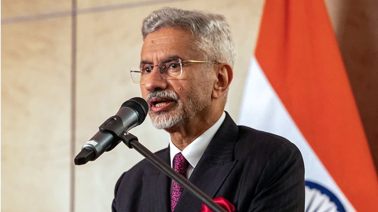
EAM S Jaishankar paid tribute to victims of the 1985 Air India ‘Kanishka’ bombing on its 41st anniversary. He reaffirmed India’s commitment to combating terrorism in all forms, honouring the 329 lives lost in the horrific incident.
External Affairs Minister S Jaishankar on Tuesday paid solemn tributes to the victims of the tragic Air India Flight 182 ‘Kanishka’ bombing on its 41st anniversary and reaffirmed India’s commitment to combating terrorism in all its forms and manifestations.
Taking to social media platform X, the minister emphasised that New Delhi remains resolute in its fight against terrorism. “Today, on the 41st anniversary of Air India 182 ‘Kanishka’ bombing, we honour the memory of those who lost their precious lives in this horrific terror incident. Reaffirm our commitment to combating terrorism in all its forms and manifestations,” Jaishankar stated. Today, on the 41st anniversary of Air India 182 ‘Kanishka’ bombing, we honour the memory of those who lost their precious lives in this horrific terror incident. Reaffirm our commitment to combating terrorism in all its forms and manifestations. — Dr. S. Jaishankar (@DrSJaishankar) June 23, 2026
Details of the 1985 Terrorist Attack
The mid-air bombing, which occurred on June 23, 1985, remains one of the deadliest acts of aviation terrorism in global history, comparable in scale to the September 11 attacks in 2001. The Boeing 747 aircraft, operating on the Montreal-London-Delhi route, was blown up at an altitude of 9,400 metres by the Canada-based Khalistani terrorist group Babbar Khalsa, claiming the lives of all 329 passengers and crew members on board. The catastrophic blast occurred while the aircraft was above the Atlantic Ocean, navigating Irish airspace.
Annual Commemorations
Marking the largest mass killing in Canadian history, that claimed the lives of 329 individuals, including 268 Canadian citizens and 24 Indian nationals. To honour their memory, the High Commission of India in Ottawa, alongside the Consulates General of India in Toronto and Vancouver, joins the families of the deceased and representatives of the Indian diaspora annually on June 23 to pay solemn tribute to the victims of this heinous act of terrorism across synchronised ceremonies in Ottawa, Toronto, and Vancouver.
More than four decades later, India, Canada, and Ireland continue to share the profound grief of an air tragedy that left the international community deeply shocked and altered global aviation security standards. (ANI)
(Except for the headline, this story has not been edited by Asianet Newsable English staff and is published from a syndicated feed.)