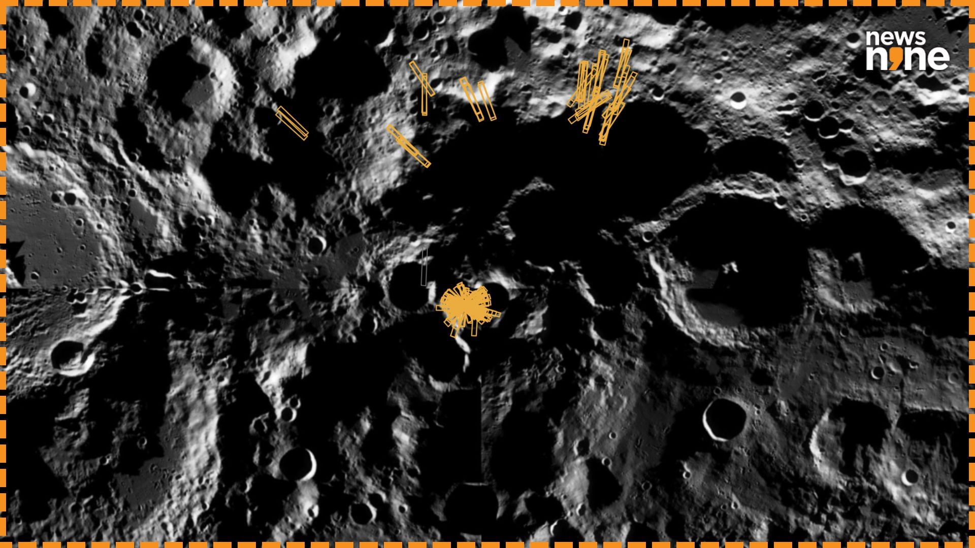
New Delhi: ISRO is hosting an interactive platform to explore the data captured by the Chandrayaan 2 orbiter, with advanced data products focusing on the polar regions of the Moon. All the major spacefaring nations are headed to the south pole of the Moon, because of the water ice in the permanently shadowed craters. These regions are expected to have preserved the prevalent chemical conditions in the infancy of the Solar System. The ready-to-use data products allow for characterizations of the polar regions of the Moon, and will benefit the efforts of all nations in exploring the lunar surface.
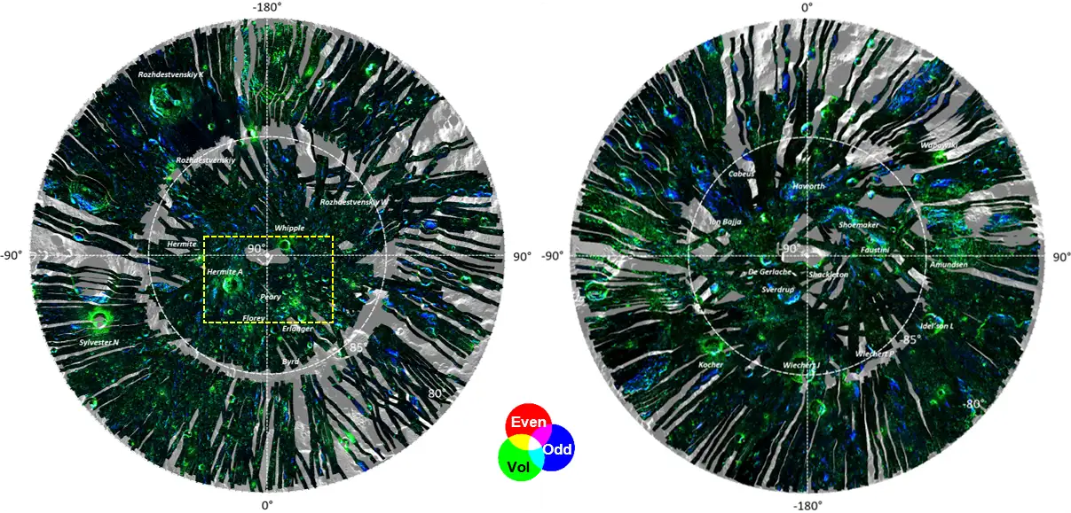
Radar polarimetric decomposition maps of the Lunar North (left) and South (right) poles. (Image Credit: ISRO).
The products also complement hyperspectral data in mapping the distribution of minerals on the Moon. The maps indicate the locations with possible presence of boundary heights, the roughness of the surface, the dielectric constant of the lunar regolith and polarimetric decomposition components that show different types of radar scattering. The platform uses data captured by NASA’s Lunar Reconnaissance Orbiter as the base map, and is hosted on the Indian Space Science Data Centre website, Pradan. All the data is freely available to the scientific community after registration.
The Chandrayaan 2 orbiter
The Chandrayaan 2 orbiter has been observing the Moon since 2019, and has been gathering high quality data well beyond its planned mission duration of one year. The Dual Frequency Synthetic Aperture Radar (DFSAR) payload on board has been mapping the Moon at a resolution of 25 metres per pixel, which is the highest for such an instrument so far. The radar sends and receives signals in both vertical and horizontal directions, making it suitable for studying the properties of the lunar surface. Since launch, the orbiter has gathered around 1,400 radar datasets, and the products were developed based on these observations by the Space Applications Centre in Ahmedabad.