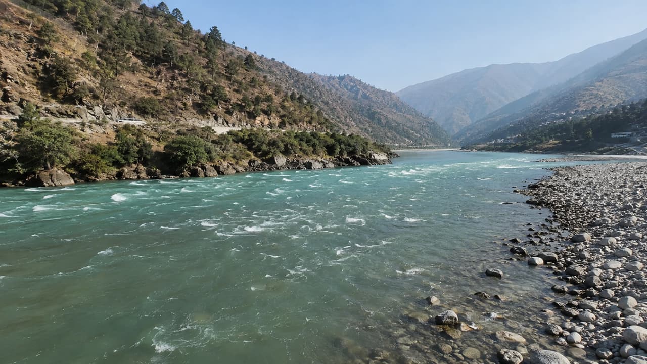
Why is river water sweet and sea water salty? Know the scientific reason behind it, water cycle, process of salt formation, origin, confluence, length and interesting facts of major rivers of India in easy language.
River Science: This question comes in everyone’s mind that when rivers finally meet the sea and the sea water is salty, then why is the river water sweet? The answer lies in nature’s water cycle, minerals in rocks and the process of salt accumulation in the sea. Let us know why river water is sweet? Why is sea water salty?
Is river water really “sweet”?
“Sweet water” does not mean tastes like sugar. In science, freshwater is called water which has less amount of dissolved salts. Meaning, river water is called sweet because it contains much less salt than the sea.
Also read: Big reform campaign started in NTA, tough decisions taken after paper leak controversy
Why is river water sweet?
1. Rain water is almost pure
The main sources of rivers are rain, snow and melt water from glaciers. When sea water evaporates from the sun’s heat, the salt remains in the sea. Only water vapor rises up and forms clouds. When these clouds rain, there is almost no salt in the water.
2. Small amounts of minerals dissolve along the way
Rain water passes through mountains, soil and rocks. During this time, small amounts of calcium, magnesium, potassium and other minerals get mixed in it. But the quantity of these minerals is so less that the water does not become salty.
3. The river keeps flowing continuously
River water always keeps flowing. Therefore the minerals dissolved in it are not able to accumulate at any one place. They slowly reach the sea.
Why is sea water salty?
For millions of years, rivers have been continuously reaching the sea carrying minerals and salt. But sea water evaporates while the salt remains there. This process has been going on for millions of years. Therefore, the amount of salt kept accumulating in the sea and its water became salty.
Do all rivers have the same water?
No. The amount of dissolved minerals is different in every river. It depends on which mountains, rocks and soil it is flowing through. For this reason, the water of some rivers is a little more hard and some is less soft.
Can we drink river water directly?
Earlier the water of many rivers was clean to a great extent, but currently most of the rivers are being affected by pollution, industrial waste, sewage and bacteria. Therefore, it is not considered safe to drink water from any river directly without checking or purifying it.
Which are the major rivers of India, which rivers originate from where and where they meet…
| River | Where does it come from? | Where do you get it? |
| Ganges | Gangotri Glacier (Bhagirathi) of Uttarakhand | bay of bengal |
| Yamuna | Yamunotri Glacier, Uttarakhand | Meets river Ganga in Prayagraj |
| Brahmaputra | Angsi/Chemayungdung region of Tibet (Yarlung Tsangpo) | Bay of Bengal meeting Ganga (Padma) in Bangladesh |
| Sindhu (Indus) | Near Manasarovar region of Tibet | Arabian Sea (Pakistan) |
| Satluj | Raksha Tal, Tibet | Indus River |
| Beas | Rohtang Pass, Himachal Pradesh | Sutlej River |
| Raavi | Himachal Pradesh | Chenab River |
| Chenab | Himachal Pradesh (from the confluence of Chandra and Bhaga rivers) | Indus River |
| Jhelum | Veernag, Jammu and Kashmir | Chenab River |
| Narmada | Amarkantak, Madhya Pradesh | Arabian Sea (Gulf of Khambhat) |
| Tapti (Tapi) | Multai, Madhya Pradesh | Arabian Sea |
| Godavari | Trimbakeshwar, Maharashtra | bay of bengal |
| Krishna | Mahabaleshwar, Maharashtra | bay of bengal |
| Kaveri | Talakaveri, Karnataka | bay of bengal |
| Mahanadi | Sihawa Hills, Chhattisgarh | bay of bengal |
- longest rivers of india
- Ganga – about 2,525 km
- Godavari – about 1,465 km
- Krishna – about 1,400 km
- Yamuna – about 1,376 km
- Narmada – about 1,312 km
Which river falls into which sea in India?
Rivers flowing into the Bay of Bengal
- Ganges
- Brahmaputra
- Godavari
- Krishna
- Kaveri
- Mahanadi
rivers flowing into the arabian sea
- Indus
- Narmada
- Tapti (Tapi)
Some interesting information related to major rivers of India
- Ganga is the holiest and longest river of India.
- Brahmaputra is one of the widest rivers of India. It also becomes a major cause of floods in Assam.
- Narmada and Tapti are major rivers of India that flow from east to west and fall into the Arabian Sea.
- Godavari is called “South Ganga” because it is the longest river in South India.
- Prayagraj is believed to be the confluence of Ganga, Yamuna and the invisible Saraswati.
- Most of the rivers in India flow eastwards and join the Bay of Bengal, while some rivers flow westwards and fall into the Arabian Sea.
Content Source: United States Geological Survey (USGS), UNESCO – World Water Assessment Programme, National Oceanic and Atmospheric Administration (NOAA), National Geographic, Encyclopaedia Britannica, Central Water Commission (India).
Also read: Why are traffic challans issued? Know about 9 most common traffic mistakes and 5 golden rules of road safety