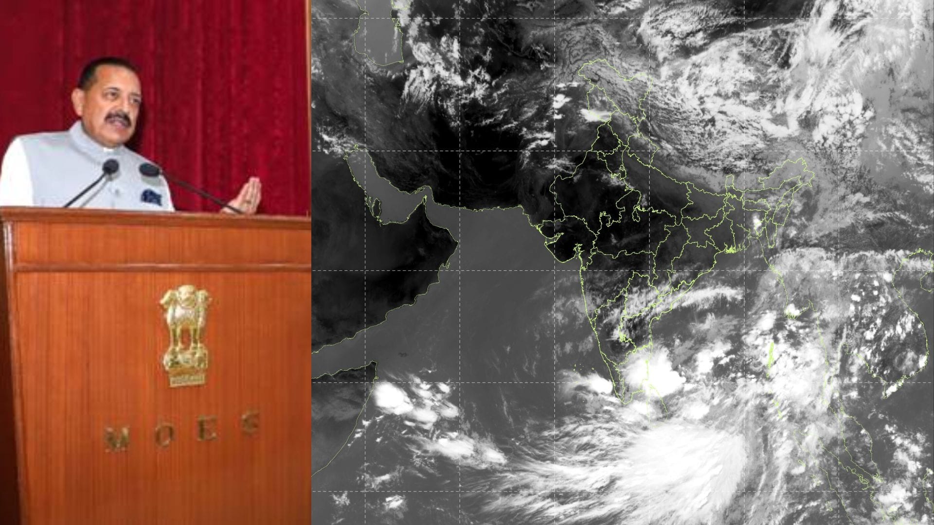
New Delhi: Union Minister for Science and Technology Jitendra Singh announced the launch of two advanced weather forecast products developed under the Ministry of Earth Sciences (MoES) to deliver hyper-local, impact-based weather services across the country. This includes the first artificial intelligence driven system by the India Metrological Department (IMD) for monsoon forecast, as well as a high spatial resolution rainfall forecast for Uttar Pradesh. The two new products have been rolled out as a pilot service. The systems were jointly developed by the IMD, the Indian Institute of Tropical Meteorology (IITM), Pune and the National Centre for Medium Range Weather Forecasting (NCMRWF).
India’s weather forecasting capabilities have witnessed a major transformation during the last decade, with technology, data integration and advanced modelling all improving the accuracy of forecasts and public trusts in IMD services. The IMD has today become an integral component of governance, disaster preparedness, agriculture planning and everyday public decision-making. The newly launched system marks a major shift from conventional weather forecasting, towards forecasting that is impact-based and supports decision making, capable of providing precise, location-specific and actionable forecasts to farmers, administrators, disaster managers and citizens.
Rapid modernisation of India’s weather infrastructure
About a decade ago, India had barely 16 to 17 Doppler Weather Radars, with the number now increased to 50, with another 50 being planned under Mission Mausam. The expansion of observational networks, automatic weather stations, high-performance computing systems and digital dissemination platforms has substantially improved forecasting capability and early warning systems across India. The AI-enabled monsoon advance forecasting system will provide probabilistic forecasts of monsoon progression every Wednesday up to four weeks in advance. The product was developed specifically to support farmers across 16 states and over 3,000 sub-districts. The system combines AI-based forecasting models, extended range prediction systems and statistical techniques to provide operationally useful forecasts. The UP service generates rainfall forecasts at a 1km scale spatial resolution, up to 10 days in advance.